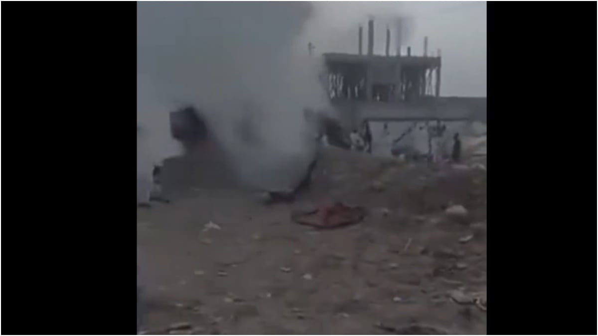
Natural disasters in high-altitude convergence zones rarely function as isolated meteorological events. They operate as cascading systems failures where tectonic, cryospheric, and infrastructure vulnerabilities compound into mass casualty events. The August flash floods originating near the Nepal-Tibet border along the Bhote Koshi and Trishuli river corridors provide a definitive case study in extreme hydrological shock. By stripping away journalistic narratives and examining the mechanics of the disaster through a structural lens, analysts can isolate the core variables that dictated the scale of destruction.
The Cryospheric Trigger Mechanism
The physical genesis of the disaster bypasses standard monsoon modeling. Satellite analysis confirms that the primary driver was a catastrophic structural failure of a high-altitude glacial tongue. Approximately 1,300 meters of glacial ice sheared off a cliff face, dropping 2,000 meters into a proglacial lake. For a deeper dive into similar topics, we suggest: this related article.
This displacement generated a high-magnitude hydraulic shockwave, breaching the natural moraine dam and releasing a massive volume of water, mud, and ice into narrow mountain gorges. The transition from static ice to a hyper-concentrated debris flow occurred within minutes, leaving zero functional warning time for downstream settlements. In steep terrain topologies, the velocity of such debris flows scales exponentially with channel gradient, converting potential energy into kinetic destruction before monitoring stations can register anomalous flow rates.
The Vulnerability Matrix of Corridor Infrastructure
Human settlement patterns in the Himalayas are bound by topographical constraints. Valleys offer the only viable corridors for roads, hydropower installations, and commercial hubs such as the Gyirong Port. This geographic reality creates a high-density asset concentration directly inside active flood paths. To get more information on this topic, comprehensive reporting can be read on BBC News.
The structural cost function of this configuration is defined by three overlapping failure points:
- Hydropower Bottlenecks: Sub-surface and surface energy infrastructure, including tunnels and generation plants, act as physical traps when inundated with millions of cubic meters of sediment-heavy slurry. Workers and equipment stationed underground face immediate entrapment.
- Linear Infrastructure Interdependence: Arterial road networks running parallel to river systems are structurally dependent on retaining walls and bridges. When the initial surge compromises a single bridge, the cascading logistical failure isolates entire districts, multiplying recovery costs and delaying emergency medical triage.
- Asset Density vs. Elevation Buffer: Residential construction frequently occupies low-terrace floodplains due to spatial scarcity. These zones lack the vertical elevation buffer required to survive high-energy debris waves.
Quantifying the Human and Economic Toll
The aftermath of the event underscores the severe limitations of traditional disaster accounting. With a confirmed death toll exceeding 1,400 and thousands initially unaccounted for, the administrative burden on state apparatuses reveals deep friction between emergency response and bureaucratic closure.
The friction manifests most acutely in the legal and economic processing of missing persons. As search operations transition to recovery and closure phases, families require formal death certificates to access insurance payouts, clear land titles, and stabilize household finances. The state is forced into a complex verification process, cross-referencing DNA profiles provided by first-degree relatives with recovered remains to legally transition missing individuals into confirmed casualties.
Concurrently, the macroeconomic impact is severe. Initial government assessments place reconstruction and recovery requirements in the multi-billion-dollar range. Displaced populations residing in temporary holding centers face a narrow seasonal window to transition to permanent, winterized transitional shelters before sub-zero temperatures compound health vulnerabilities.
Strategic Deployment of Reconstruction Capital
Rebuilding in high-risk seismic and cryospheric zones requires a shift from reactive repair to defensive spatial planning. Capital allocation must abandon the replacement of vulnerable linear infrastructure in high-hazard riverbeds. Instead, mitigation frameworks demand the relocation of critical transport corridors to higher elevations, the implementation of automated early-warning radar systems linked to upper-basin glacial lakes, and the enforcement of strict zoning setbacks along Himalayan river channels. Without structural redesign, subsequent seasonal warming cycles guarantee recurrent systemic failure.