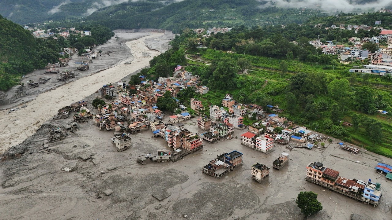
Himalayan glaciers don't care about diplomatic borders or geopolitical red tape. When a massive glacier collapse in Tibet triggers catastrophic flash floods down the Bhotekoshi River, leaving hundreds dead and thousands missing across Nepal, pointing fingers after the fact is a deadly game.
The recent disaster exposed a glaring reality. Mountain communities sitting downstream are flying blind because critical hydrological and meteorological data stays trapped on the other side of the border. If Beijing and Kathmandu want to prevent even worse tragedies, localized gentleman's agreements at district borders won't cut it anymore.
The Deadly Cost of Information Silos
When disaster strikes early in the morning, minutes decide whether a village survives or gets wiped off the map. Former Nepali officials have openly pointed out that the staggering death toll could have been mitigated if early warnings had crossed the border before the floodwaters hit.
China holds the high ground quite literally. Most dangerous glacial lakes sit high up in the Tibet Autonomous Region. Weather patterns, ice melts, and sudden lake swelling happen up there long before anyone downstream in Nepal feels the rumble.
Local pacts between Chinese county officials and Nepali district authorities—like the ones hashed out in Nyalam County and Sindhupalchok—are a nice gesture. But they operate on ad-hoc communication lines. When a flash flood tears through a valley at midnight, waiting for local police officers to call across the frontier is a recipe for catastrophe.
Moving Past Bureaucratic Hesitation
Historically, sharing real-time river flow and meteorological data touches sensitive nerves around national security and sovereignty. Nations often guard hydrological data tightly. Yet, climate change is rewriting the rules of engagement. Warming temperatures are turning the Himalayas into a ticking time bomb of glacial lake outburst floods, known as GLOFs.
You can't treat a melting glacier as a state secret. When water flows south across international boundaries, withholding upstream data directly endangers civilian lives downstream. Nepal contributes a fraction of global emissions yet bears the brunt of these high-altitude climate impacts.
Bilateral cooperation has to shift from emergency post-mortems to institutionalized, 24/7 automated data sharing. Both governments need to install automated monitoring stations across Tibetan territory that feed live data directly into Nepal's Department of Hydrology and Meteorology.
What Effective Cross Border Warning Systems Look Like
Setting up a functional early warning network isn't rocket science, but it requires political will.
- Automated Sensors: Install real-time water level and pressure sensors on high-risk glacial lakes in Tibet.
- Direct Feeds: Link those sensors directly to downstream warning sirens and mobile alert systems in Nepali valleys.
- Satellite Integration: Share high-resolution satellite imagery feeds continuously so engineering geologists can track lake expansion before walls breach.
- Joint Protocols: Establish pre-approved operational protocols that bypass local bureaucratic delays during emergencies.
Without these concrete steps, every monsoon season becomes an anxious countdown. Disaster response shouldn't rely on improvisation and grief. It's time for Beijing to treat transboundary risk data as a humanitarian necessity rather than a classified asset.