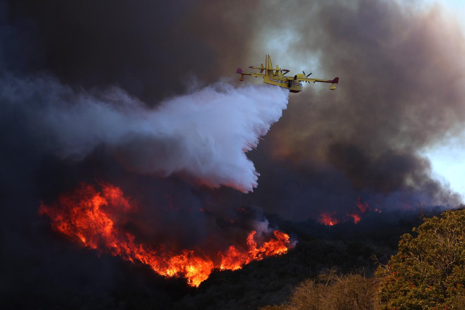
Fire investigations into the Altadena and Pacific Palisades disasters point to familiar operational missteps, yet the deeper failure lies in how agencies treat evacuation chaos and interagency dysfunction as isolated mistakes rather than predictable outcomes of strained infrastructure. When an investigation catalogs delayed alerts, stalled traffic, and radio blind spots, it gives officials a tidy checklist of fixes. It rarely asks why systems designed for routine brush fires buckle the moment wind-driven embers turn suburban canyons into traps.
I have spent decades watching post-mortem reports land on public desks with solemn press conferences and thick binders. They almost always follow the same arc. Investigators find a missed call, a slow warning, or a tangled command chain. Everyone nods. Then the next wind event hits and the same bottlenecks return under a different zip code.
The core problem in Altadena and Pacific Palisades is not that responders forgot how to fight fire or move people. It is that modern wildland-urban interface planning assumes a level of coordination, road capacity, and communication clarity that vanishes once smoke blankets the hills and thousands of residents try to leave at once.
How Post-Mortem Reports Sanitize Structural Rot
Investigations into major wildfires love concrete errors. A dispatcher waited too long to push a wireless emergency alert. A barricade went up on the wrong side of an intersection. A field commander assumed another agency had covered a ridge.
Those details matter. Families trapped in gridlock deserve to know why warnings arrived late or why routes closed without clear guidance. Yet treating those missteps as the root cause lets institutions off the hook for deeper structural rot.
When a fire investigation highlights botched Altadena evacuations or dysfunction in Pacific Palisades, it often frames the breakdown as a training or discipline gap. In reality, incident commanders operate inside rigid jurisdictional boundaries built decades ago. Fire suppression, law enforcement traffic control, municipal public works, and county emergency management each answer to different chains of command, different dispatch protocols, and different political pressures.
A post-mortem that blames slow alerts alone ignores the fact that an alert sent into a clogged canyon without an open staging plan creates panic, not order.
Consider a hypothetical example of how that split plays out in real time. Suppose a fast-moving ember cast ignites dry brush above a narrow residential spur. Fire crews focus on structure defense and life safety along the flank. Police units arrive to clear streets, only to find parked cars, downed lines, and no pre-agreed contra-flow plan. Meanwhile, emergency managers wait on verified acreage and direction before issuing broad evacuation orders, worried about triggering false alarms if the wind shifts. By the time the order goes out, the narrow exit is already choked. No single person acted with malice. Every link in the chain followed its own logic. The system still failed.
The Illusion of Clean Evacuation Math
Evacuation plans look reassuring on paper. Planners take a neighborhood population, multiply by an average vehicle count, divide by lane capacity, and circle a number of minutes on a spreadsheet.
Real evacuations do not run on spreadsheet math. They run on human hesitation, conflicting rumors, and physical friction.
In foothill communities like Altadena and coastal canyons like Pacific Palisades, street networks were never engineered for simultaneous mass departure. Winding roads, single-point bottlenecks, steep grades, and dense tree canopies turn minor disruptions into cascading gridlock. One stalled sedan or one abandoned vehicle with a flat tire can freeze an entire hillside.
Investigations frequently treat traffic gridlock as an operational hiccup that better signage or stricter policing could have prevented. That view underestimates what happens when visibility drops to fifty feet and residents see orange glow on the ridge. People do not move in neat waves. Some leave at the first whiff of smoke. Others stay to hose down roofs, load pets, or wait for a spouse commuting home across town. When those streams collide on two-lane arteries, law enforcement officers on foot become human traffic cones trying to untangle metal with whistles and flashlights.
Even more overlooked is the role of informal evacuations. Long before an official mandatory order hits phones, neighbors text neighbors, school pickups start early, and drivers peel out onto collector streets. By the time command posts formalize an evacuation zone, the escape routes are already half-full of uncoordinated traffic. Blaming late alerts for a clogged road misses the sequence entirely.
Interagency Dysfunction Is Baked Into the Map
Anyone who has covered municipal emergencies knows the phrase unified command is often more aspirational than real. On an organizational chart, agencies share authority and information smoothly. In the field, turf and liability still shape decisions.
In Pacific Palisades, dysfunction often stems from overlapping jurisdictions and uneven readiness across neighboring units. Coastal topography creates fierce wind eddies that behave differently from inland canyons. When multiple agencies converge on a moving perimeter, radio channels clog, mapping layers do not match, and field crews improvise workarounds.
Jurisdictional friction shows up in small, maddening ways:
- One agency uses grid coordinates while another relies on street landmarks.
- Traffic barriers go up at intersections without real-time feeds to neighboring precincts.
- Public information officers release partial updates while tactical commanders adjust boundaries on the fly.
- Private utility crews wait for clearance protocols while live lines block evacuation corridors.
None of this requires a scandal. It requires only parallel bureaucracies trying to move fast under incomplete information. Yet fire investigations tend to list these frictions as side notes rather than central findings, because fixing interagency architecture requires budget transfers, statutory clarity, and political bruising that elected boards prefer to avoid.
What Investigators Rarely Ask About Infrastructure
When a fire investigation concludes, recommendations usually cluster around better alert software, more drills, and updated evacuation maps. Those steps are not useless. Better communication tools save minutes.
Still, there is a counter-argument worth taking seriously: over-engineering evacuation plans can create a false sense of security. If officials convince residents that modern alert systems and revised maps will smoothly clear a canyon in twenty minutes, homeowners may delay hardening their properties or leave later than they should. In extreme wind-driven fires, no evacuation plan can move tens of thousands of vehicles instantaneously out of narrow terrain.
Look at the physical realities that rarely get equal billing in post-mortem reports:
- Overhead utilities and narrow rights-of-way. A single fallen pole across a primary feeder road turns an evacuation route into a dead end. Undergrounding lines is expensive and slow, so overhead spans remain vulnerable right where residents need clear pavement.
- Aging water pressure and hydrants. Fire suppression and evacuation are linked. When hydrants lose pressure during heavy structure defense, crews pull back, embers jump further, and evacuation zones expand faster than traffic can clear.
- Inconsistent defensible space enforcement. One neglected parcel with dry ladder fuels can throw burning brands across multiple blocks, overwhelming local crews and forcing abrupt street closures.
Investigations focus heavily on human missteps during the event because human missteps are easy to document in timelines and transcripts. Infrastructure limits require multi-year capital commitments that outlast any news cycle.
Why Residents Feel Whiplash From Official Guidance
Ask residents in Altadena or Pacific Palisades what frustrated them most during the crisis, and you hear a consistent complaint: conflicting signals. First came warnings to prepare. Then came sudden shifts in zone boundaries. Then came closed roads that looked open from the ridge.
From the outside, that looks like incompetence. Inside a command post, it looks like trying to steer a speedboat in heavy fog while the coastline keeps moving. Fire behavior in steep, brush-choked terrain can flip direction in minutes when downslope winds hit. An evacuation route that looks viable at 2:00 p.m. can become a hazard by 2:20 p.m.
Still, agencies make their own credibility problem worse when they treat residents as passive recipients of orders rather than active participants who know their streets. Local residents often know which cut-throughs flood, which cul-de-sacs lack turnarounds, and which neighbors cannot drive without help. When emergency plans ignore hyper-local knowledge until smoke is already in the air, trust evaporates at the exact moment compliance matters most.
The Blind Spot in Accountability
Every major fire investigation promises lessons learned. Few ever explain who owns the cost of not learning them earlier.
If a private airline suffered repeated runway incursions or communication dropouts across multiple hubs, regulators would ground fleets and overhaul operations under strict oversight. In municipal emergency management, accountability diffuses across cities, counties, state agencies, and utilities. When an investigation identifies botched Altadena evacuations or dysfunction in Pacific Palisades, the resulting reforms often rely on voluntary coordination committees and pilot programs.
There is also an uncomfortable political dynamic at play. Tough findings about evacuation bottlenecks or canyon capacity threaten property values, insurance availability, and local development assumptions. Officials understandably want to frame failures as fixable operational glitches rather than fundamental limits of how and where people live.
Until investigations stop treating evacuation chaos and interagency friction as mere missteps—and start confronting the physical bottlenecks, fragmented authority, and unrealistic timelines built into local systems—the next report will read much like the last one, just with different street names.