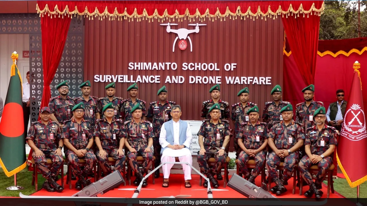
The opening of the Shimanto School of Surveillance and Drone Warfare by Border Guard Bangladesh in Sylhet marks a profound technical pivot in South Asian frontier management. Situated roughly fifty-five kilometers from the international boundary with India, this newly inaugurated institution aims to institutionalize aerial reconnaissance and counter-drone operations across notoriously porous terrain.
For decades, the sprawling four-thousand-kilometer border between the two nations relied primarily on boots on the ground, barbed wire, and watchtowers. That physical architecture is now meeting automated eyes in the sky.
Understanding why this facility matters requires looking past standard diplomatic readouts. Ground management of the frontier has long been plagued by geography. Roughly eight hundred kilometers of the boundary remain unfenced, carved through dense forests, shifting riverine islands known as chars, and hilly tracts where traditional human patrols struggle to maintain continuous visibility.
Smuggling networks, illegal crossings, and contraband trafficking historically exploited these blind spots. By training personnel to deploy thermal-imaging and night-vision unmanned aerial vehicles, Dhaka is attempting to replace blind spots with continuous digital oversight.
This is not merely an educational outpost. It is an operational doctrine upgrade.
The curriculum focuses on training six-person patrol units to coordinate directly with aerial feeds, identifying suspects in real time, and deploying electronic countermeasures against unauthorized airspace incursions. During the inauguration drills, Border Guard Bangladesh personnel demonstrated how quadcopters track movement across difficult terrain, stripping away the traditional advantages enjoyed by night-time operators and illegal syndicates.
Yet, introducing advanced unmanned systems into a sensitive border zone introduces complex operational friction.
Aerial surveillance does not respect administrative lines. Small quadcopters operating close to a contested or tightly monitored international boundary risk straying across airspace boundaries, triggering immediate tactical alarm bells on the opposing side. Neighboring security apparatuses monitor every new installation with acute suspicion. When one military or paramilitary force upgrades its technological ceiling, the other invariably adjusts its electronic horizon.
The strategic implications extend far beyond local anti-smuggling operations.
Border Guard Bangladesh leadership has signaled ambitions to move beyond basic operation and dive into domestic assembly and manufacturing. Creating an indigenous pipeline for military-grade hardware alters the procurement equation in South Asia. Instead of relying solely on foreign original equipment manufacturers, regional security forces are increasingly seeking self-sufficiency in reconnaissance technology.
Friction points remain visible beneath the surface.
India maintains extensive fencing projects along the greater share of the boundary, supplemented by the Border Security Force's own surveillance grids. Disagreements over cross-border movement—labeled pushbacks by one side and push-ins by the other—frequently inflame bilateral tensions. Introducing persistent aerial eyes into this volatile mix guarantees that minor infractions will be detected faster, potentially shortening the fuse between local incident and diplomatic protest.
Technology changes the rhythm of confrontation. It removes the ambiguity of human error, replacing it with high-definition certainty. Whether that clarity dampens friction or amplifies it depends entirely on how transparently these new aerial assets are utilized in the months ahead.
The skies above the Sylhet sector are no longer quiet. Every flight path logged at this new academy signals a permanent departure from traditional infantry-led frontier defense into an era of automated surveillance.