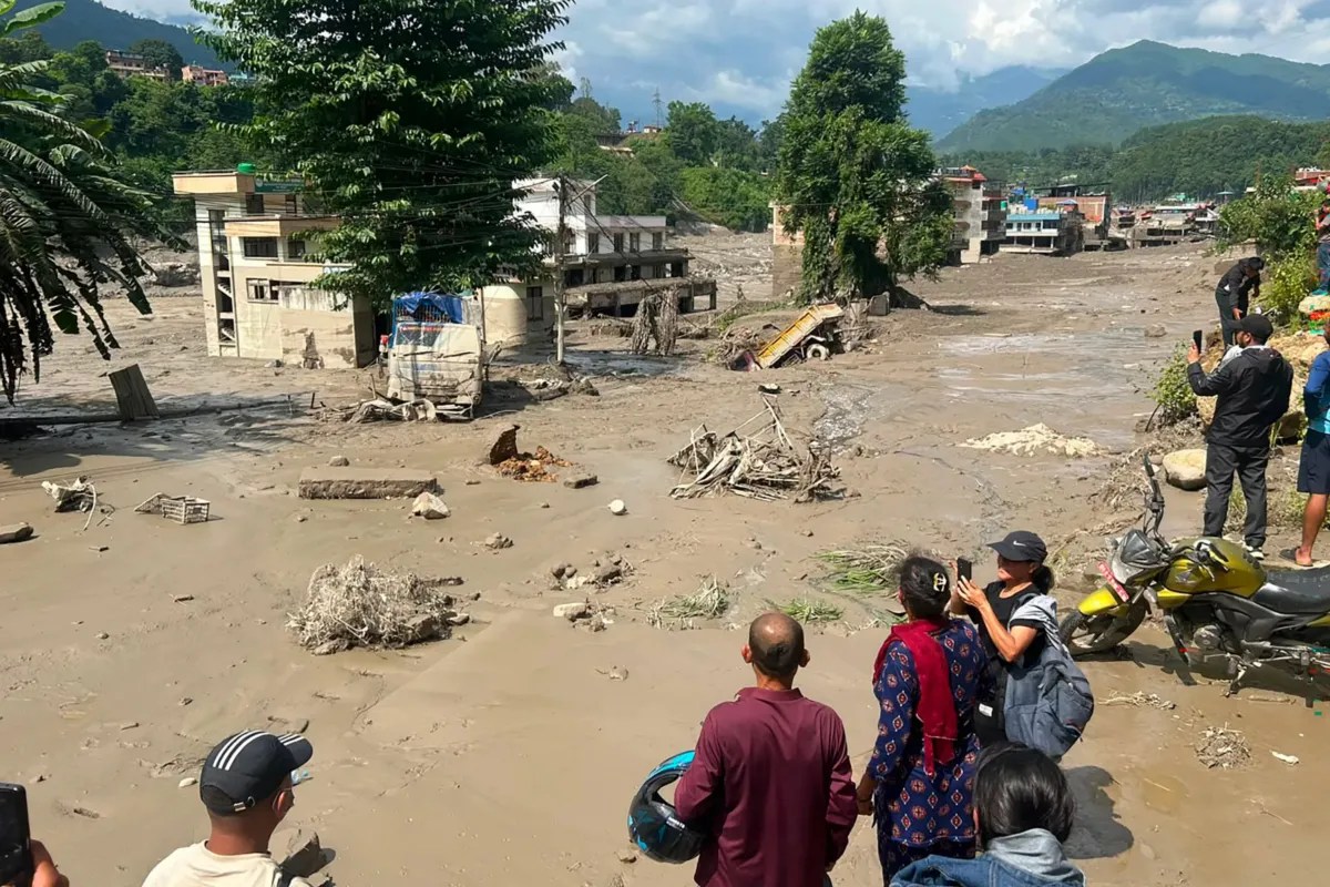
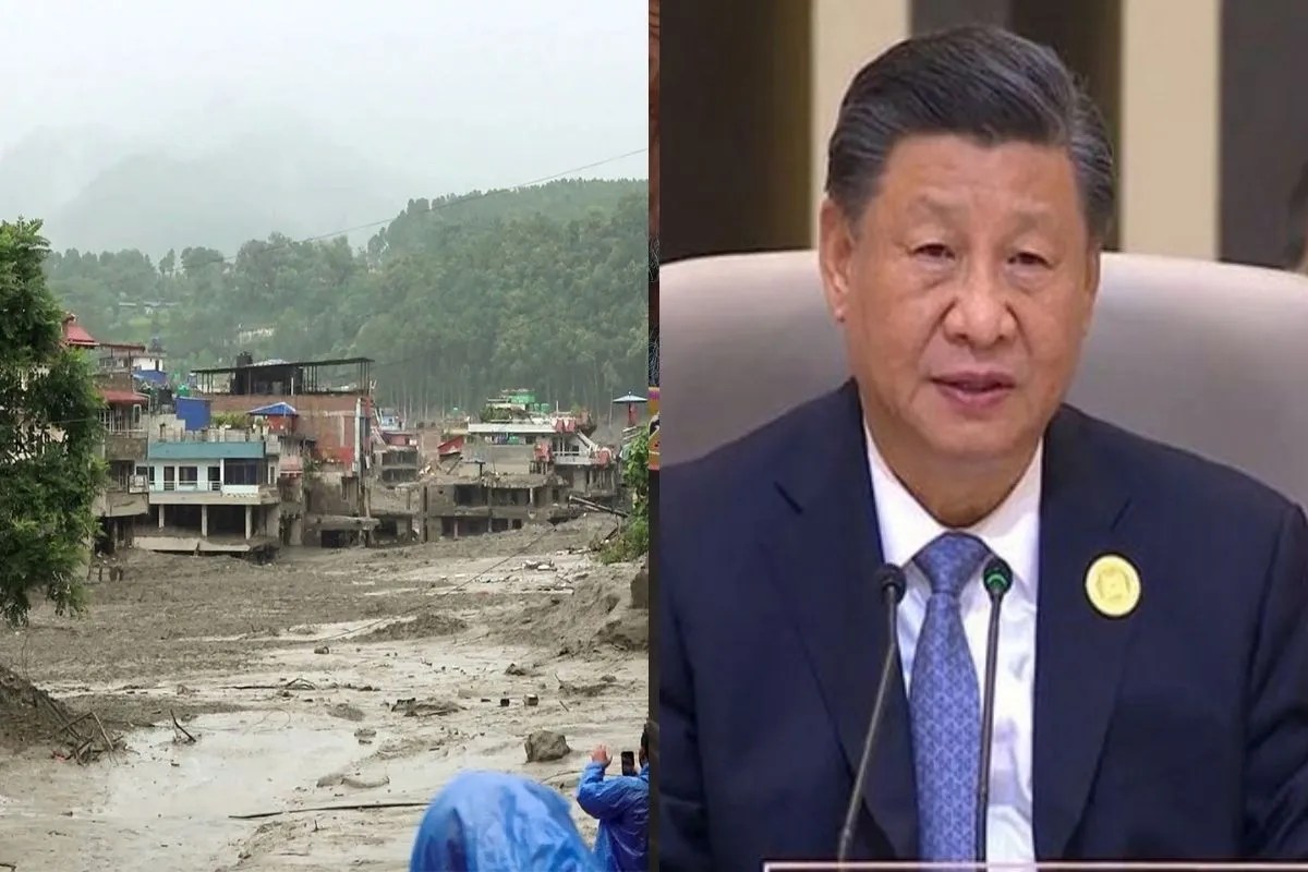
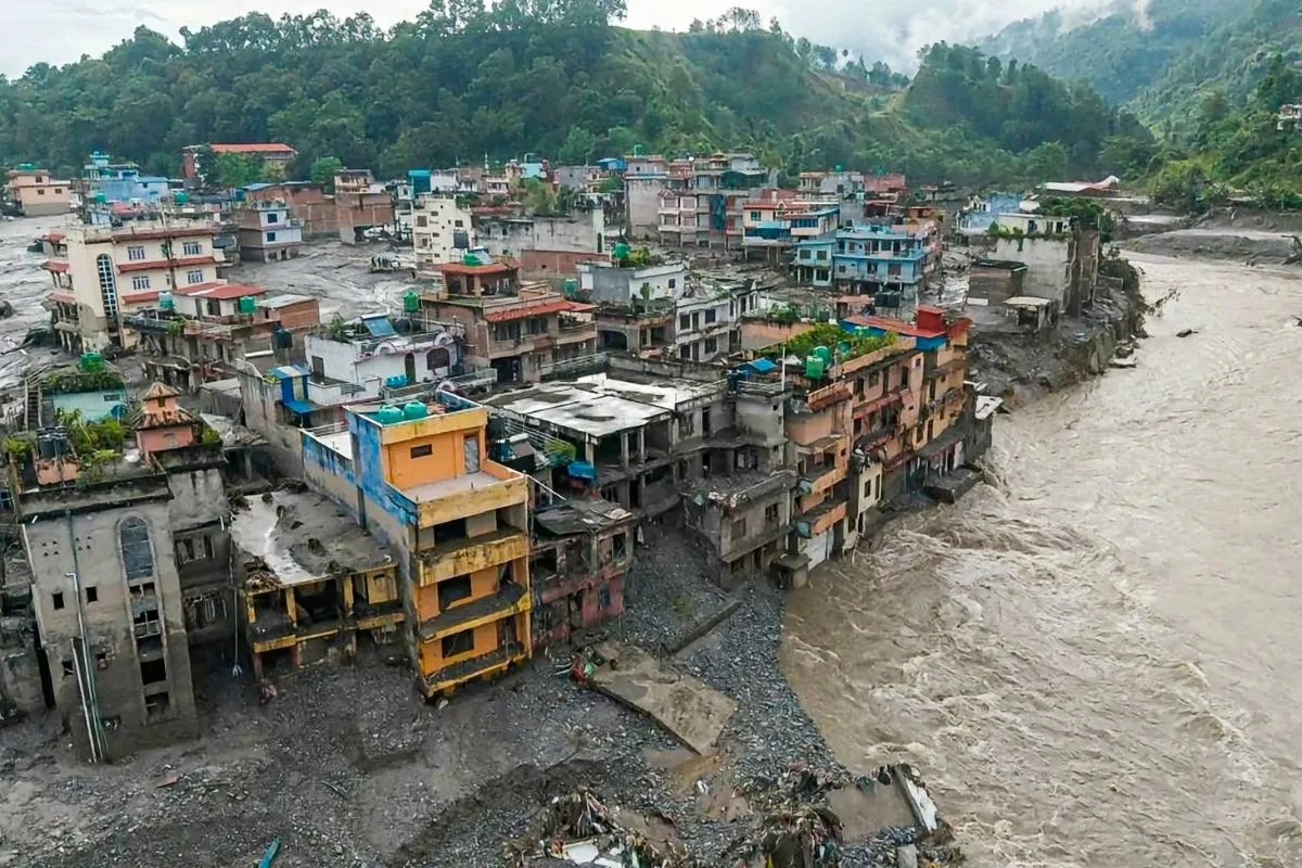
The ground did not merely shake beneath Gyirong Port; it dissolved. When a massive ice-rock avalanche triggered by an abrupt glacial collapse crashed down a high-altitude valley on the China-Nepal border, it did not arrive as an ordinary surge of water. It materialized as a dense, terrifying slurry of mud, boulders, and pulverized stone that registered on global seismic instruments equivalent to a magnitude 5.2 earthquake. Days later, as rescue teams try to piece together the human cost of a catastrophe that has left well over a thousand people missing and hundreds confirmed dead, a secondary threat has materialized. Chinese authorities announced that a massive barrier lake, choked by the very debris that caused the initial tragedy, has begun to overflow, forcing emergency personnel to retreat to higher ground.
This is not a freak occurrence born of random meteorological bad luck. It is the terrifying preview of an accelerating geological crisis in the roof of the world, where economic development and vulnerable alpine geography are on a direct, violent collision course. For a closer look into similar topics, we suggest: this related article.
The Anatomy of a High-Altitude Failure
To understand why the border region between Tibet and Nepal became a death trap, one must look far above the riverbanks where villages and hydropower stations were built. The disaster began when a critical mass of bedrock and glacial ice detached from a high-altitude slope. Decades of climbing temperatures have steadily compromised the internal plumbing of Himalayan glaciers. Meltwater pools inside deep crevasses, acting as a hydraulic wedge that liquefies the frozen bonds anchoring stone to cliff.
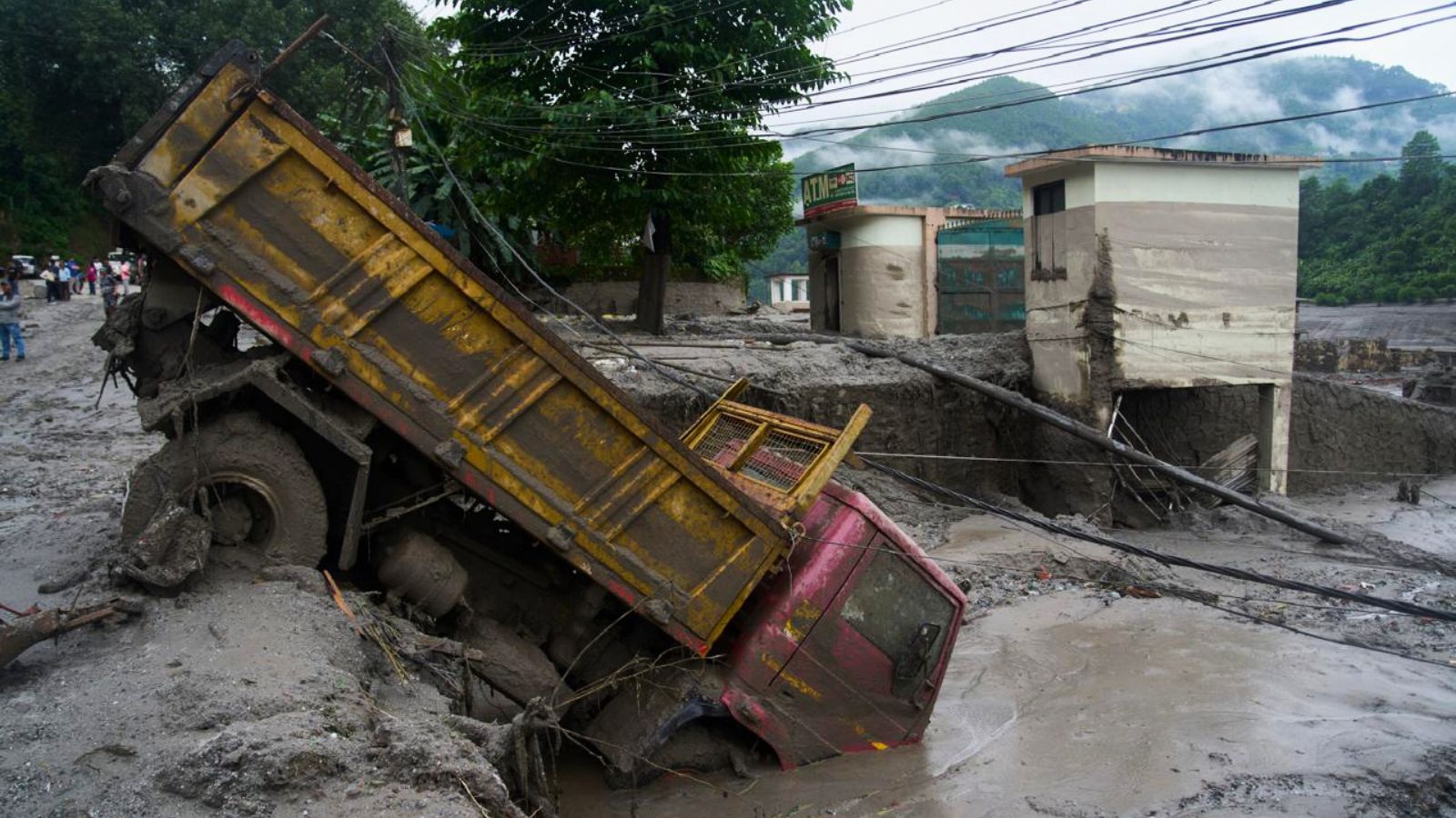
When those bonds fail, gravity does the rest with catastrophic efficiency. The resulting ice-rock avalanche plummeted hundreds of meters, scouring the valley floor and instantly entraining millions of tons of loose sediment, soil, and vegetation. This transformed a clean slide into a dense debris flow—a geological battering ram that wiped out multi-story border buildings, buried access roads, and trapped construction workers deep inside the tunnels of the Upper Trishuli-1 Hydropower Project. For further background on this topic, detailed analysis can also be found at The Guardian.
Water levels on the Trishuli River spiked by nearly nine meters in a matter of thirty minutes. For local residents, there was no transition between normalcy and annihilation. Survivors described hearing a low subterranean rumble followed immediately by a wall of black water moving at terrifying speeds.
Yet the initial flood was only Act One. As the tons of boulder and mud slurry choked the natural river channels, they formed a massive natural dam. Behind this unstable earthen wall, a secondary reservoir began to swell.
The Ticking Clock of the Barrier Lake
By late Friday, the crisis entered a tense new phase as Chinese engineering teams monitoring the site reported that the newly formed barrier lake had breached its critical capacity. Containing millions of cubic meters of water and facing continuous monsoon-season rainfall that has further destabilized surrounding slopes, the lake began spilling over its makeshift crest.
The math of these barrier lakes is relentlessly unforgiving. As water accumulates behind a wall of loose debris, seepage rapidly erodes the internal structure of the dam. Unlike concrete structures designed with spillways and stress tolerances, a debris dam is an unstable pile of rubble waiting to liquefy. Chinese state broadcasters confirmed that incoming flows threaten to dump millions of additional cubic meters into the basin, driving the risk of an uncontained secondary breach to critical levels.
This forced an immediate, humiliating tactical retreat. Heavy machinery was abandoned, and elite rescue units stationed near the border were ordered to pull back to secure zones. For the families of the missing—spanning local laborers, international trekkers, and pilgrims returning from sacred sites—the suspension of search operations represents an agonizing delay in an already desperate recovery effort.
The Blind Spot of Mountain Economics
The disaster lays bare a dangerous structural flaw in how rapid development is managed across the fragile Himalayan corridor. For years, both Beijing and Kathmandu have aggressively pushed to expand trans-Himalayan trade routes, upgrade border ports like Gyirong, and harness roaring alpine rivers for clean energy. Hydropower installations have sprung up in narrow gorges precisely because the steep drops generate immense power.
These engineering choices ignore a fundamental geological reality. River valleys in young, active mountain ranges are not permanent foundations; they are temporary transit zones for earth moving from the sky down to the plains. Building multi-billion-dollar energy projects and dense commercial settlements directly in these high-risk conduits is an invitation to disaster.
Consider the plight of the workers trapped in underground hydropower infrastructure. When the mud wall breached, slurry poured directly into tunnel portals, sealing exits with meters of dense earth. Rescuers cutting through concrete and rock are fighting not just structural damage, but the geometry of a landscape that is actively reshaping itself in real-time.
Traditional disaster management frameworks assume that early warning systems designed for flatland river basins will suffice in high mountain ecosystems. They do not. When a glacial collapse occurs miles upstream, communities downstream have minutes, not hours, to respond. By the time seismic instruments register the sudden loss of ice mass, the wall of water is already rounding the final bend of the canyon.
The Cost of Climate Inaction
Blaming pure coincidence absolves the systemic pressures transforming the cryosphere. The Hindu Kush Himalaya region is warming at a rate significantly higher than the global average. As permafrost thaws and glaciers retreat, they leave behind massive bowls of unstable sediment held back only by terminal moraines—piles of glacial debris that act like fragile natural dams.
When these moraines fail or when avalanches crash into meltwater lakes, the downstream consequences do not respect national borders. A catastrophe originating in the high reaches of Tibet instantly translates into massive casualty counts and infrastructure devastation inside Nepal.
Governments on both sides of the border are now scrambling to deploy 3D modeling, drone surveillance, and satellite telemetry to map hidden water bodies before they burst. Yet technology deployed reactively after bodies have been recovered and infrastructure obliterated is a poor substitute for structural foresight.
The water continuing to pool behind the Tibetan debris dam will eventually find a way out. Whether it drains through a carefully excavated engineering channel or violently blasts through the rubble wall depends entirely on whether emergency crews can stabilize the site before the next peak flow arrives. Beyond the immediate crisis at the border, a sobering realization remains: the roof of the world is losing its stability, and the structures humans built beneath it were never designed to withstand the mountain sliding down upon them.