Ink is cheap. Cartography is easy. A ruler, a sharp pencil, a blank sheet of paper, and anyone can slice valleys in half or declare a snowy peak to be foreign soil.
Meet Aarav.
He sits in a quiet cafe in Srinagar, wrapping his freezing fingers around a clay cup of kahwa. Outside, the morning mist lifts slowly off the Dal Lake, revealing the jagged, magnificent silhouette of the mountains in the distance. To a stranger scrolling through a glowing smartphone screen thousands of miles away, those mountains are just pixels. Coordinates. A polygon on a digital atlas that can be dragged, zoomed, or incorrectly rendered by a careless algorithm.
To Aarav, those mountains are the pulse in his wrist.
Maps are never just lines. They are memory. They are the weight of grandfathers' stories carved into slate and stone. When a digital map gets the geography of a nation wrong—when it lops off the northern crown of India, slicing away Jammu and Kashmir or Ladakh with a clumsy stroke of vector graphics—it does something far worse than commit a geographical error. It attempts to erase a people's reality.
Consider what happens next on social media.
A viral meme flashes across millions of screens. It is sharp, mocking, and impossible to ignore. Instead of issuing a dry, dusty bureaucratic memo that no one reads, the Ministry of External Affairs uses that cultural currency to push back. They drop the hammer with a clever digital jab, reaffirming what every schoolchild in the country knows by heart. Jammu and Kashmir and Ladakh are integral parts of India. Period.
No negotiation. No ambiguity. Just cold, hard truth wrapped in a modern cultural language.
(Note: The viral meme referenced here acts as a digital mirror, reflecting how modern diplomacy has learned to fight pixels with truth.)
Why does this matter so deeply? Why do governments track every misplaced border on a foreign tech company's app with hawk-like precision?
Because sovereignty is fragile if it is not defended everywhere, even in the digital ether.
Think about the last time someone misspelled your name, or worse, attributed your life's work to someone else. It stings, right? It feels like a minor erasure of your existence. Now multiply that by fourteen hundred million souls. When a global tech platform misrepresents a nation's borders, it creates a subtle, dangerous psychological shift. It normalizes a falsehood. Repeat a lie often enough, and the world begins to think it is open for debate.
That is why the response had to be swift, public, and absolute.
Geopolitics is often imagined as a game played by men in dark suits behind mahogany doors. We picture secret handshakes, hushed telephone calls, and treaties signed with heavy gold-nibbed pens. But today, the battlefield has shifted. It lives in the thumb-scroll of a teenager sitting on a bus in Mumbai. It lives in the open-source code of mapping software built in Silicon Valley. It lives in the digital trenches where memes carry more weight than white papers.
When the MEA stepped in, they weren't just correcting a JPEG. They were standing guard at the gate of collective truth.
Let us look closer at the geography we take for granted.
Ladakh is not just a cold desert of high-altitude passes and fluttering Buddhist prayer flags. It is a high-altitude fortress of silence, where the air is thin enough to make your chest ache and the night sky burns with a million unobstructed stars. Jammu and Kashmir is not merely a headline about conflict or tourism; it is a living, breathing tapestry of saffron fields, walnut groves, and centuries of shared heritage.
To draw a dotted line around them as if they are disputed territories waiting for a referee's whistle is to ignore the human heartbeat thumping inside those borders.
People live there. Children go to school there. Farmers harvest apples in the autumn chill. Soldiers stand watch on frozen ridges where the wind howls like a trapped animal. Their daily lives are anchored to the certainty of their nationhood. They do not wake up wondering if their home belongs to them.
Yet, digital cartography makes mistakes. Sometimes through negligence. Sometimes through political pressure.
When those errors slip through, the backlash cannot afford to be polite. Polite diplomacy gets buried under the sheer volume of internet noise. You cannot whisper corrections in a stadium screaming with viral misinformation. You have to grab the microphone, match the energy of the room, and set the record straight with absolute, unyielding clarity.
This is where the story pivots from policy to pride.
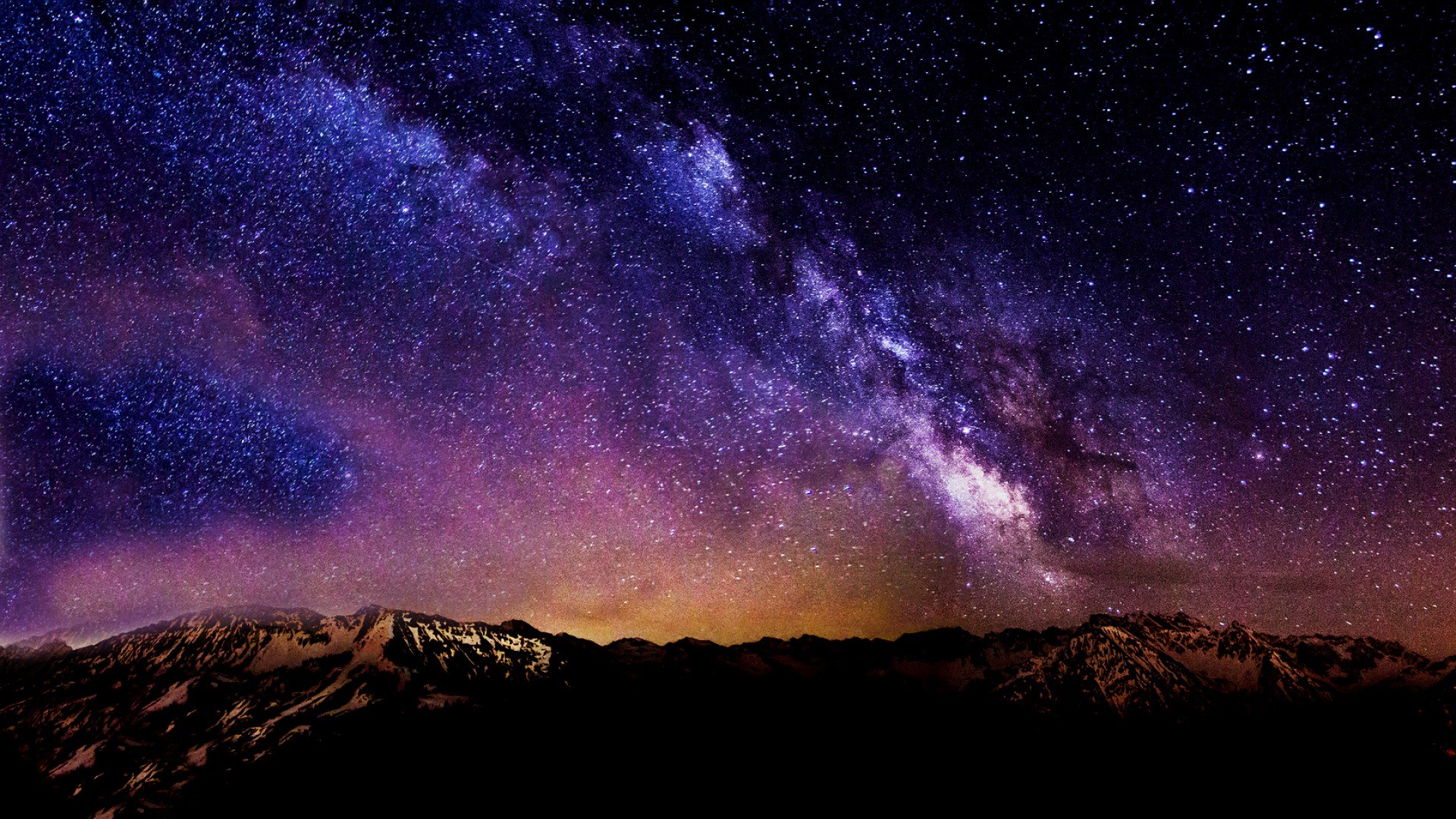
Imagine standing at the edge of the Pangong Tso lake as the water shifts from deep sapphire to emerald green under the afternoon sun. The mountains plunge straight down into the freezing depths, silent and ancient. No server farm halfway across the world, no software update pushed out by engineers who have never smelled pine needles in the Himalayas, can alter the sheer physical reality of that landscape.
The land remembers. The people remember.
And as long as the truth is defended—whether through high-level diplomatic channels or a sharply crafted digital comeback—the lines on the map will match the lines written in our bones.