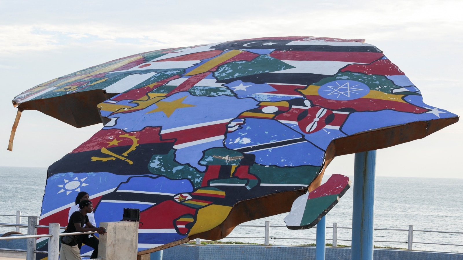
For five hundred years, we have lived inside a distortion.
Picture a schoolroom. Dust motes dancing in the slanted afternoon light. At the front of the room, rolled up like a stubborn window shade, hangs the world. When the teacher snaps it down, Greenland looms with the frozen, white-bellied enormity of an entire continent. Africa sits tucked beneath the equator, modest, neat, and roughly the same size as the frozen northern island.
It is a lie. A quiet, administrative lie drawn by a Flemish geographer in 1569.
Mercator needed to help sailors cross an ocean. He flattened a sphere onto a flat sheet of paper, stretching the lines of longitude until the poles bled outward. In doing so, he inflated the global north. He blew Europe and North America up like balloons, while quietly deflating the landmasses clustered around the middle. Africa shrank. It shrank by millions of square miles, reduced on classroom walls, shipping manifests, and geopolitical strategy decks to a convenient shorthand for somewhere distant and small.
Think about what happens to a child who grows up looking at that map.
Maya sits at a wooden desk in Nairobi, staring up at a chart where her home continent is swallowed whole by the vast, exaggerated expanse of the North Atlantic. She learns latitude, longitude, and cartography through an optical illusion that tells her, quietly every single day without uttering a single spoken word, that her home matters less. Her space is narrow. Her world is a footnote.
Scale is not neutral. Geometry is not innocent. When you shrink a people on paper, you make it infinitely easier to shrink them in budgets, in disaster relief, and in global imagination.
Maps dictate where aid planes fly first. They dictate how shipping lanes are priced. They dictate the mental geography of leaders who sit in air-conditioned capitals thousands of miles away, looking at flat screens where nations are rendered as geometric pixels. If a continent looks compact, its crises can be dismissed as localized. If it looks massive—if it sprawls across the center of your vision with the terrifying, beautiful reality of its actual proportions—you have to look it in the eye.
Which brings us to a quiet room at the United Nations.
A resolution. Not a treaty with roaring engines or sweeping trade tariffs, but something rarer. A validation of truth. The UN recently threw its weight behind a growing global movement to recognize maps that accurately reflect Africa’s true physical scale.
It sounds bureaucratic. It sounds like paper-shuffling in glass towers. But behind that resolution lies a generational tectonic shift.
To understand why this matters, you have to understand the Gall-Peters projection, or the Equal Earth map, or the countless digital cartography projects led by educators and activists who finally grew tired of living in a distorted mirror. The Peters projection corrected the sin of Mercator by preserving relative surface areas. On these maps, Africa stretches out in its true, staggering magnitude. It is larger than the United States, China, India, and large chunks of Europe combined. You could fit the entirety of the United States, Argentina, India, and Europe inside its borders, with room to spare.
Yet for generations, institutional power has clung to Mercator like a security blanket. Why? Because distortion is comfortable. Distortion preserves an old hierarchy where the center of the world sits safely above the equator, ruling over a periphery that looks small enough to manage.
Consider what happens next when that illusion cracks.
When you unfurl a map that shows the actual, breathtaking scale of the Global South, our entire mental database has to recalibrate. Climate change data takes on a different urgency when you see the vast expanses of land absorbing temperature shifts across millions of square miles of sub-Saharan terrain. Infrastructure projects demand different vocabularies. Economic partnerships can no longer rely on the tired, paternalistic shorthand of a small charity case; they must negotiate with a colossal demographic and geographic engine that holds a massive share of the world's youth, its future workforce, and its critical minerals.
We are creatures of visual proof. We believe what we see. And for half a millennium, what we have been shown was a cartographic sleight of hand.
Change is rarely loud. It does not always arrive with marching bands or revolution flags. Sometimes, it looks like a piece of paper. Sometimes, it looks like an old, familiar image being slowly, deliberately torn apart so that something truer can take its place.
Maya is older now. She works in urban planning, tracing public transit routes across the pulsing, concrete veins of her city. On her office wall hangs a map that refuses to lie. Africa stretches wide, vast, and undeniable across the center of the frame. Every morning when she walks into the room, she does not see a footnote. She sees an anchor.