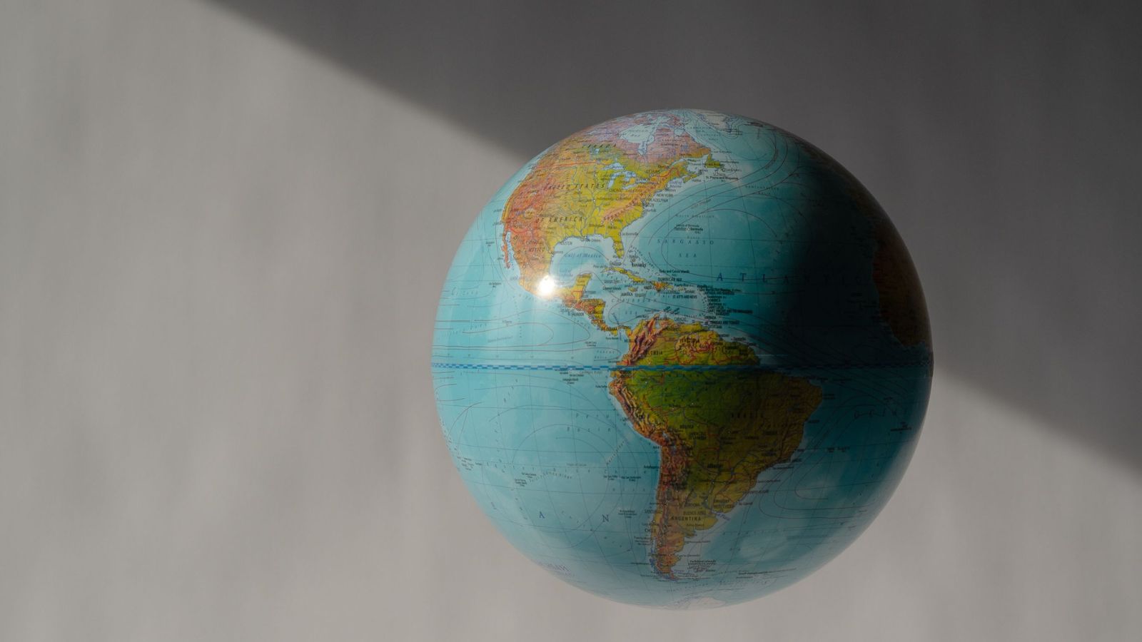
The United Nations just spent time and bureaucratic energy passing a resolution titled "Correct the map", with India, Togo, and 162 other countries nodding along to fix the supposed indignity of the 16th-century Mercator projection. The lazy consensus in mainstream international reporting treats this as a monumental victory for global justice, a corrective stroke for South Asia, Latin America, and Africa against the imperialist distortions of European sailors.
It is a complete waste of intellectual bandwidth.
Wringing hands over map projections is like arguing that a photograph of a person makes them look morally inferior because the wide-angle lens distorted their ears. Every single flat map of a globe is an elaborate, mathematical lie. You cannot flatten a sphere without tearing it, stretching it, or distorting it. Mercator bloated the global north because Flemish merchants in 1569 needed straight lines to sail ships without crashing into rocks, not because Gerardus Mercator sat in a dark room plotting how to make Greenland look like a continent-sized ego trip.
When India voted in favour at the General Assembly, its diplomatic corps smartly inserted a massive caveat: they support equal-area approaches generally, but they refuse to blindly endorse the Equal Earth projection or any single cartographic silver bullet. Why? Because India's trade negotiators and strategic planners know what the activists missing the forest for the trees refuse to admit. No single map projection serves every function.
The Geometric Trap of Flat Earth Rendering
Let us look at the mathematics without the emotional baggage.
Imagine a scenario where you peel an orange and try to press the skin flat onto a wooden table without ripping it or warping the surface area. It is physically impossible. Cartography is the art of choosing which geographic truth you are willing to murder for the sake of a 2D piece of paper.
- Conformal Projections (like Mercator): Preserve local shapes and angles. Navigational bearings are pristine. The trade-off? Size distortion explodes as you move away from the equator.
- Equal-Area Projections (like Gall-Peters or Equal Earth): Keep relative landmass proportions honest. The trade-off? Continents near the poles get squished, stretched, and look like melted plastic art projects.
- Compromise Projections (like Winkel Tripel): Try to balance everything and end up satisfying nobody completely.
When the UN passes non-binding resolutions claiming that shifting to an equal-area map solves historical cognitive biases, they are selling a placebo. Changing a school textbook graphic from Mercator to Equal Earth does not redistribute wealth, fix supply chain bottlenecks, or alter geopolitical reality by a single millimeter.
The Real Power Dynamic Is Data, Not Paper
The mainstream narrative assumes that seeing Africa or India rendered larger on a classroom wall alters how global power flows. This is psychological comfort food for institutional bodies that lack the teeth to tackle actual structural inequities.
I have watched organizations spend millions on rebranding exercises and aesthetic overhauls while their underlying architecture rots. Redrawing the world map to appease regional size anxieties is the geopolitical equivalent of changing a corporate logo to signal modern values while ignoring a bankrupt business model.
Look at how digital mapping actually functions today. Google Maps and modern GIS software ditched static flat-screen rigidity years ago, utilizing dynamic digital globes where scale shifts fluidly as you zoom. The physical wall map is a relic of 19th-century classrooms. Treating it as a primary driver of modern post-colonial exploitation is a profound category error.
What Actually Matters in Global Cartography
If we are going to talk about geographic representation, let us talk about the data layers that dictate modern sovereignty and economic survival.
- Exclusive Economic Zones (EEZs): Maritime boundaries dictate who pulls the fish, drills the oil, and controls undersea fiber-optic cables. These are defined by precise GPS coordinates and the UN Convention on the Law of the Sea, not by whether Greenland looks too big on a classroom poster.
- Geospatial Intelligence and Remote Sensing: Real power belongs to nations that control satellite constellations and high-resolution imaging. India’s ISRO launching radar imaging satellites provides strategic clarity that renders paper map proportions completely irrelevant.
- Infrastructure Corridors: Trade routes like the India-Middle East-Europe Economic Corridor or China's Belt and Initiative are forged through concrete, steel, and deep-water ports, defying geographic distortion altogether.
India's vote at the UN was a low-cost diplomatic nod to regional partners like the African Group—a smart gesture of solidarity that costs nothing and keeps multilateral alliances warm. But pretending that it changes the fundamental mechanics of global geography is intellectual laziness.
Stop worrying about whether your country looks big enough on a flat sheet of paper. Real power is measured in launch codes, semiconductor fabs, and satellite telemetry. Keep your eyes on the data, and let the cartographers argue about orange peels.